Utah Back Country Pilots Association
utahbackcountrypilots.org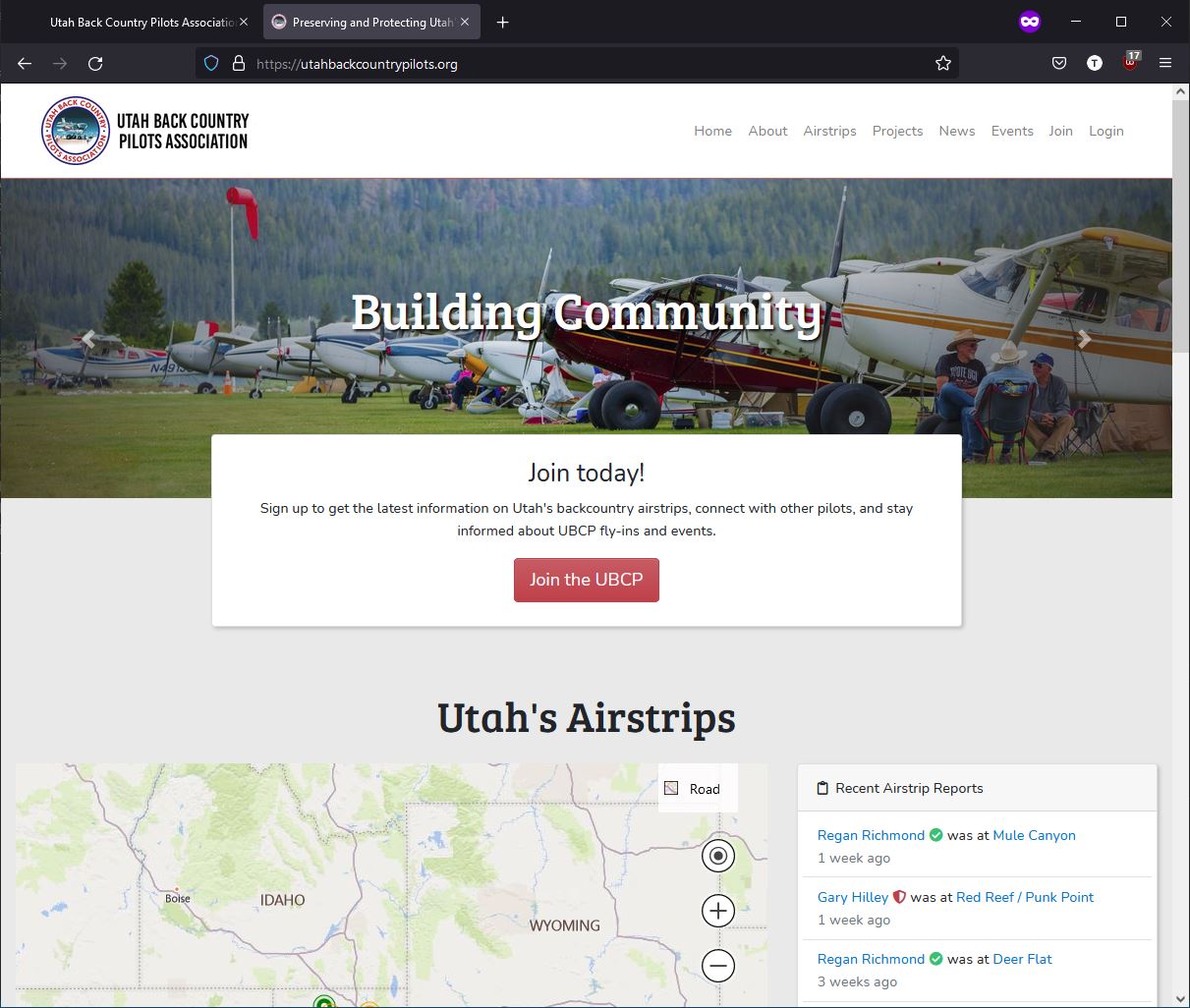
1,100+
Registered Users
400+
Airstrip Reports
~10k
Pageviews / Month
~200
Airstrips Mapped
About This Project
UtahBackCountryPilots.org is the premier destination for pilots to obtain and share information on hundreds of remote Utah airstrips. As of September 2022, the site boasts more than 1,100 registered users, 400 user-submitted airstrip reports, and receives roughly 10,000 pageviews per month.
The most critical feature is the ability for pilots to submit reports about the condition of airstrips they visit. Users can rate the condition and safety level of different attributes of each airstrip, and can attach pictures from their visit.
The airstrip map geographically plots nearly 200 airstrips using the Google Maps API. Each dot's color represents the ownership, open/closed status, and safety information about that strip. Users can hover (or tap on mobile) to get a quick overview of any airstrip.
Users can also access detailed information for each airstrip including runway dimensions and orientation, field elevation, appropriate radio frequencies, and a brief description of the airstrip and surrounding area. Each detail page also includes a VFR sectional chart and a Google Maps satellite view.
Screenshots
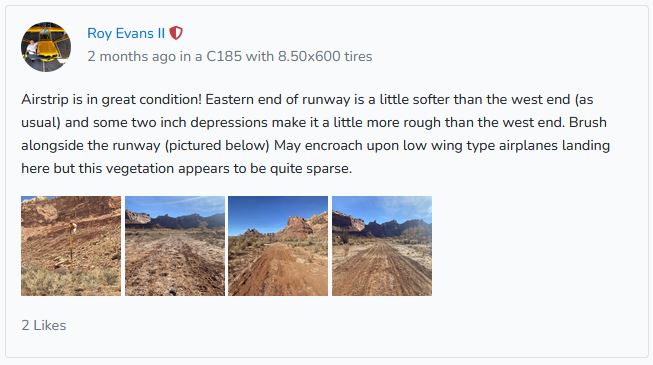
UBCP airstrip report
Features
- Custom Bing Maps integration with color-coded airstrip status
- User-submitted airstrip condition reports with photos
- Payment processing via PayPal and Stripe
- Publicly-available API endpoints
- Email notifications and social features
- VFR sectional charts and satellite views per airstrip